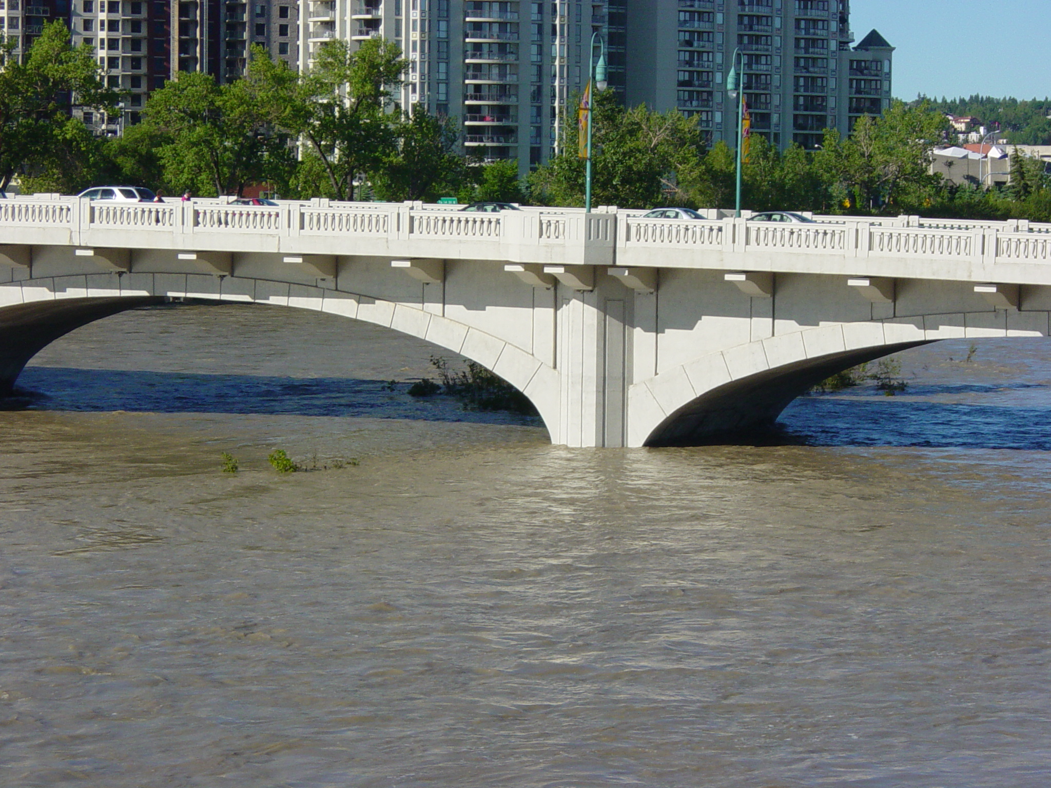
Some photos of the rising river I’ve recently mentioned (click for full versions). This is after it’s receded a bit, even, but unfortunately I don’t have ‘normal’ pictures to compare them against right now. (Update: There’s a decent view of the normal water levels around the middle of this page.)
Normally there are a few sprawling sandbars around the base of this bridge pillar.
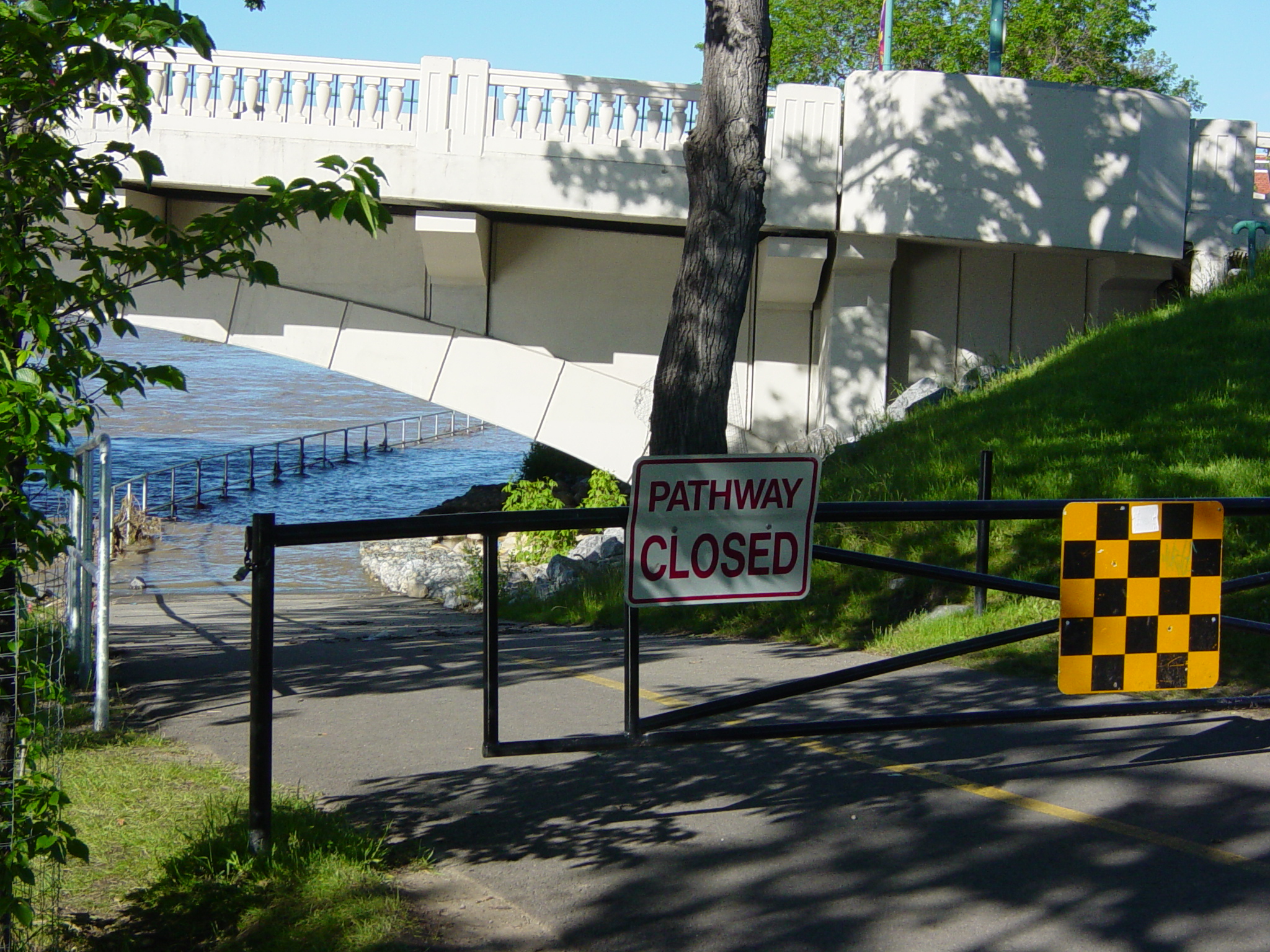
The bike pathway at the north end of the bridge gets a little wet…
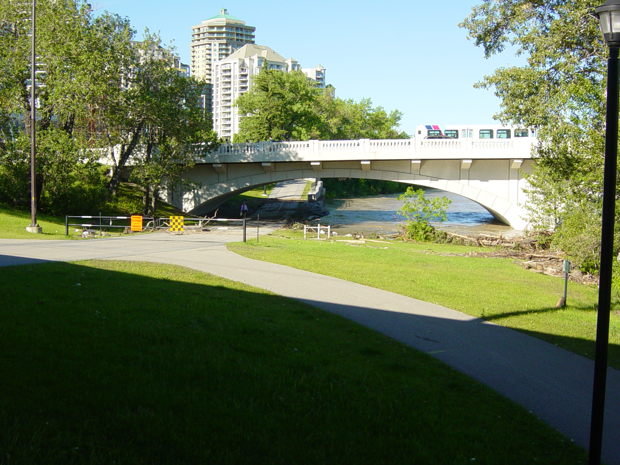
The path at the south end is littered with debris from when it was submerged earlier.
You can see from this debris where the high water mark was.
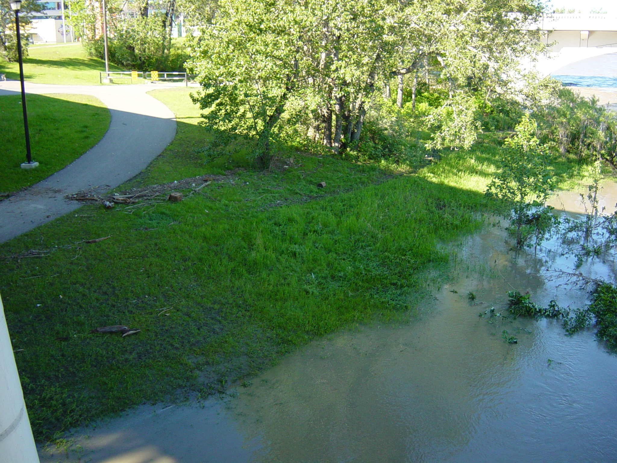
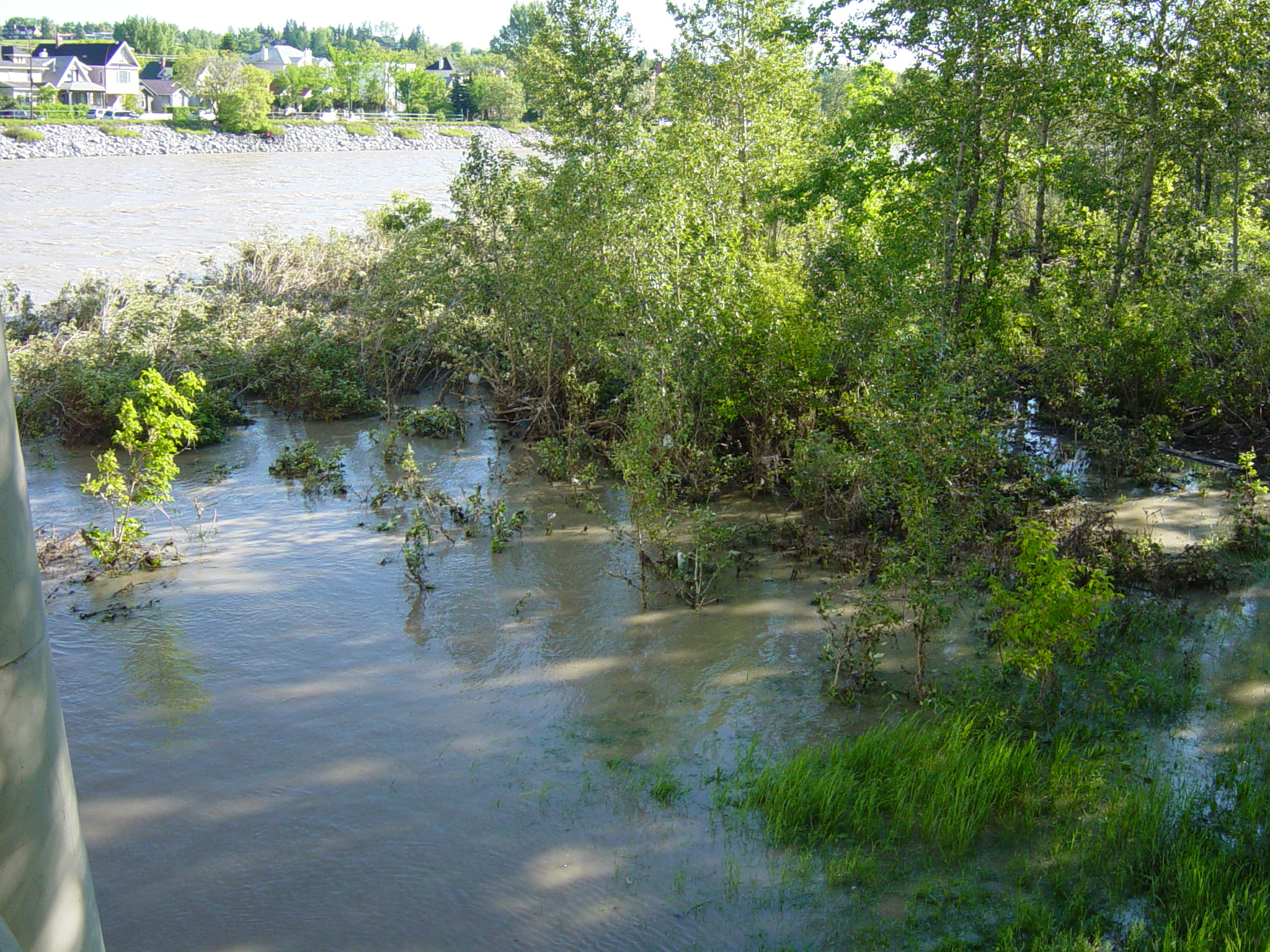
This is normally a relatively flat, dry area a few feet above the waterline.
Not really much danger around this area; it was the southern parts of Calgary and beyond that really got hit hard.
Wow, that’s nuts!
Damn… I knew there was flooding, but those shots put the weather reports in perspective.
You didn’t have to trade your chair in for a canoe, I hope…